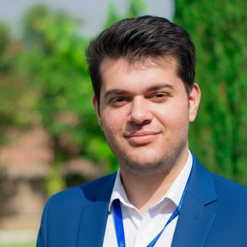
Muhammad Jaseer Khan
Selected Projects & Academic Work
Academic & Technical Showcase
A collection of GIS analysis, architectural CAD modeling, and structural automation workflows completed during my civil engineering studies at UET Peshawar.
01
GIS & Urban Mobility
Field Study
Urban Transit Mapping — Zu Peshawar BRT System
Undergraduate spatial analysis evaluating pedestrian catchment efficiency across key feeder corridors of Peshawar's Bus Rapid Transit. Investigated spatial equity, last-mile access, and station catchment densities across varying demographic sectors.
Analysis Type
Pedestrian Isochrone
Study Bounds
Peshawar
Resolution
12-minute walking catchment
QGIS
OpenStreetMap
Python GeoPandas
NetworkX
5-min
10-min
15-min
BRT Spine
EPSG: 32642 · WGS 84 / UTM 42N
Fig 1.1: Walkshed polygon matrix across Phase-1 central transfer stations. Scale: 1:15,000